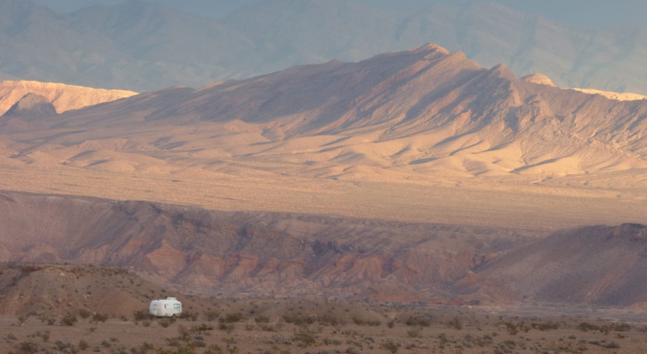
If I weren’t such a wuss when it comes to altitude, I’d be all over this mountain.
Instead, Bridget, Spike, and I take a closer look at the area around our campsite at Bluebell Flat.

We follow a path that takes us past lupines in a grove of aspens.

The columbine flower is fun to photograph.
I love its artistic silhouette. Columbine appear in shady places where flowers are least expected. As the crew and I wander, the appearance of bright, white “stars” is a delight!

It’s difficult for me to capture the purple of this flower.
The light has to be perfect and the skill of the photographer more advanced than mine.

Rarely do winged creatures give me enough time to aim a shot.
This one is willing to hold still.

The path meanders toward Cottonwood Creek.
The name seems inappropriate as I haven’t seen any cottonwood trees. Maybe the name comes from another section of the creek. If I knew the name of this next flower, I’d name the creek after it.

They lean over the creek bank like a crowd of nosy onlookers.

The crew and I leave Camp Bluebell next Monday, July 1st.
I want to locate another secluded camp where we can stay away from civilization through Independence Day weekend. In addition to avoiding the holiday, I want to camp high enough to avoid the heat wave that weather websites predict.
In fact it’s already begun.
I’ve read where it’s in the mid- to high-nineties down the mountain in Ephraim. If it weren’t for weather websites, I wouldn’t know because the high temperatures here are in the 80s.

I’ve been researching a location for our next camp.
I use the Manti-La Sal National Forest website, my Utah Benchmark atlas, of course, and the free map given to me by the ladies at the forestry office in Ephraim . . . The “Motor Vehicle Use Map.”

It looks like the primary purpose of these motor vehicle use maps is to show where OHVers can and cannot drive. I find they’re handy for a boondocker like me to locate forest roads. I always ask for one when at a forestry office. (They’re free!)

 Our general itinerary is to work our way northward along the west side of the Wasatch Plateau.
The elevation increases quickly from the valley floor. For that reason I’m hesitant for the PTV to haul the BLT up an unknown forest road. The road could wind upward for miles with no place to turn around.
Without a recommendation like I had from the forestry office for this road to Bluebell, I need to leave the BLT behind and go on a scouting mission.
What fun!

Tomorrow the crew and I will drive up to Spring City and turn east into the national forest again.
It’s exciting to search for a new camp!
 I love the entire process from studying maps to driving up a forest road, checking out spur roads.
I also think it’s fun to evaluate potential sites.

What’s the chance we’ll be bothered by people? Is it open enough for me to keep an eye on the crew? Is the site level enough? Is there a buffer against wind? Does it look like bugs will be a problem this time of year? Will the solar panel be in the sun? Can I position the BLT so the refrigerator panel isn’t hit with harsh sun in the afternoon? Is it aesthetically pleasing? . . . and so on.
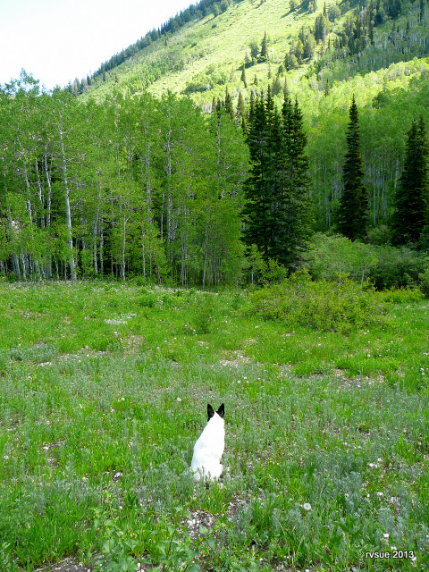
All this research and analysis is important in the search for that special camp. It also helps to have faith that we will find it.
rvsue
A big THANK YOU for shopping Amazon through my blog. Here are a few purchases made recently by some of my readers:
Birkenstock Women’s Arizona Fashion Leather Sandal
No-Spill 1-1/4-Gallon Poly Gas Can
KitchenAid Artisan Series 5-Quart Mixer
Tow Tuff Dolly Adjustable Trailer Movers with Caster Wheel
Valterra Brass Lead-Free Adjustable Water Regulator
Vera Bradley Hipster (Indigo Pop)


