Friday, May 1 (continued)
Today is a day for crossing a lot of ground to find our next camp.
 No moseying. Keep going, going, going.
All the way from Antelope Reservoir to Burns, Oregon.
The cheapest gas I find is $3.05. I pull in and fill up the Perfect Tow Vehicle’s gas tank. No, that’s wrong. I don’t fill up the tank. An attendant fills up the tank, cleans the windshield, runs inside to get a receipt for me, hurries back, smiles at me, and says cheerfully, “Thank you. Have a good day!”
“Wow! Welcome to Oregon!”
We leave Burns on Route 20/395, continuing westward. I have in mind to camp the night at Chickahominy Reservoir, another 30 miles. Which is really dumb. When I turn onto the road leading to the campground, a gate blocks our way. A sign reads something like, “Campground temporarily closed for resurfacing on October 14, 2014. We apologize for the inconvenience.”
Um . . . It’s May 2015.
Now why did I say it was dumb to try this campground? Because a few days ago I read online that Chickahominy Campground is closed and then when I looked at the map this morning, I forgot all about that. Anyway . . .
Here we are, parked in front of the gate with the butt-end of the Best Little Trailer a few feet from a two-lane road that has steady traffic in both directions. No space to turn around. I’m thankful for my experience in backing up the BLT, because now is not the time to learn how. I wait for the all-clear, quickly scoot back onto the road, and away we go.
Darnit. This means we have to go all the way to Bend, another hundred miles.
By the time we reach the rest stop in a little place called Brothers, I’m starting to fade.
Bend is another 30 miles or more. A walk-around with the pups and a conversation with a forty-ish man interested in the BLT and my lifestyle perks me up. We get back on the road. I really need to stop soon . . . .
This is not my way to move camp.
I don’t usually find a camp “by the seat of my pants.” I research. I read reviews. I check the road in. I study my Benchmark atlas. I acquaint myself with the topography and weather. I search for photos. In short, I know what I’m getting into.
This lack of preparation wouldn’t matter if we were in an area where boondocks are easy to find. However this is wide-open sage plain.
Well, I’m plugging along when I see a sign pointing north, “Prineville Reservoir 25 miles.”
Hmm . . . We could go there, I wouldn’t have to deal with Bend . . . .
I turn!
The gravel road is good and takes us into hills of cedar. We come to a fork. If we go left, the road winds around the west end of the reservoir. My Oregon Benchmark shows the Prineville Reservoir dam and campgrounds along the Crooked River that way.
A small sign with a tent symbol on it points to the right, “Roberts Cove 8 miles.”
I choose right. Why?
Because it seems like the choice most people wouldn’t make.
Over the mountain and through the woods, Salt Creek Road takes us to Prineville Reservoir and our new camp!
 This is a dispersed camping area, no fee!
 Across the reservoir homes cling to a hillside.
 I’m very proud of Bridget and Reggie.

I take them for a walk through the juniper trees.
 It was a long drive and they didn’t complain. They slept while I drove and were happy when I stopped to give them breaks.
 Such good pups . . .
 We’ll stay here through the weekend, maybe more, and during that time I’m not driving anywhere!
rvsue
THANK YOU FOR SHOPPING AMAZON FROM MY BLOG!
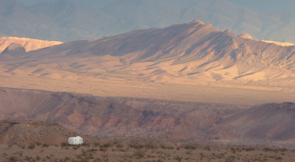
 Sunrise, Prineville Reservoir, Oregon

