Tuesday, March 18
The crew and I take advantage of a calm day to break camp. We rumble across the desert to Bouse, a bedraggled little desert town, where I point the Perfect Tow Vehicle southeast on Highway 72.

All of the photos in this post were taken at our new camp. Click on the smaller ones to enlarge.
It’s a straight, 34-mile drive to Vicksburg across a plain of creosote and palo verde. Three miles further along we arrive at Hope which consists mostly of the Ramblin Ranch RV Resort. No thank you. I’m looking for something a bit more spacious.

Exquisitely beautiful blossoms of the treacherous cholla cactus!
As we leave Hope on Highway 60 heading northeast, we pass a hand-painted sign.
“YOUR NOW BEYOND HOPE”
That’s the exact spelling. Clever idea, poor execution.
Bridget and Spike are asleep as we cross the Little Harquahala Mountains and pass through Harcuvar. At Salome, the largest town on today’s journey, I pull over next to a vacant lot.
This is a good place to give the crew a potty break.
They always wake up when the PTV’s soothing vibrations stop.
After our walk-about, I consult my Arizona Benchmark atlas.
(If you have an Arizona Benchmark, 7th ed., look at page 73. In the 8th edition, it’s page 71.)
I want to find a boondock in the BLM area (yellow on map) south of Salome.

Sort of looks like Christmas . . .
Harquahala Road runs due south out of Salome into the mountains. The dotted line means it’s a dirt road. The hairlike lines indicate spur roads. Hmm . . . There could be good camps on those spurs. Only thing is . . . it’s a bit obvious.
“Obvious” potentially means other campers.
I want to be alone! I see running southeast out of Salome is Salome Road. Sore Finger Road branches off Salome and curves southward around the mountains. There are a few spur roads indicated on the map. That looks better.
Immediately upon entering Sore Finger Road, we come to a warning sign.
It says to enter at our own risk because the road is not regularly maintained. We continue on anyway because the road looks good . . . wide, no ruts, and no washboard.

 As we follow Sore Finger, the vegetation becomes greener and thicker. However, I don’t see any campsites. This might not be good.
I want to turn around and go back to Salome but it would be a lot of work, see-sawing the trailer around in the road which has high ridges on both sides.
Well, looks like we have to keep going . . . .

Mounds of brittlebush in bloom among the creosote bushes
Lo and behold, around the bend and across a wash . . .
A spur road with campsites! I park the PTV. The crew and I walk up the spur and find three campsites . . . flat, clear areas with fire rings.

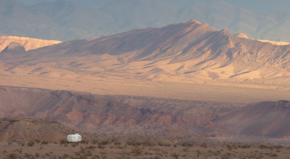
View to the west. I park so the door side will have some shade all day.
“Looks like we’ve found our new home!”

View to the northeast. Socorro Peak (3763 ft.) in the Harquahala Mountains
It doesn’t take long before our campsite does feel like home.

Hanging around in the late afternoon sun
rvsue
THANK YOU FOR SHOPPING AMAZON FROM MY BLOG!

This is what I mean when I say I want “spacious!”

